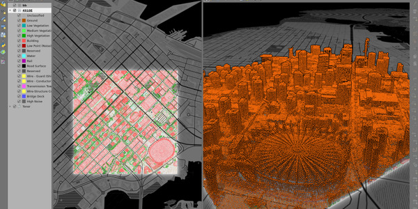
Transforming Spatial Data into Strategic Business Value
Open-Source GIS Expert | Technical Consultant
Geospatial business development professional with deep technical expertise in open-source GIS.
Specializing in complex integrations, data-driven insights, and full-stack geospatial solutions.
Empowering teams and organizations to transform spatial data into measurable business value.
© Santtu Pyykkönen 2019-2025 All rights reserved. Content licensed under CC BY 4.0 | Template by Bootstrapious.com & ported to Hugo by Kishan B
Guide to working with point cloud data in QGIS 3.18, covering new features and workflows for LiDAR data processing.
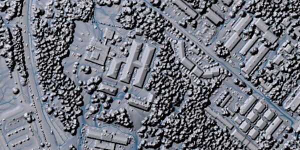
Tutorial on using WhiteboxTools with QGIS for point cloud data analysis and deriving actionable insights from LiDAR datasets.