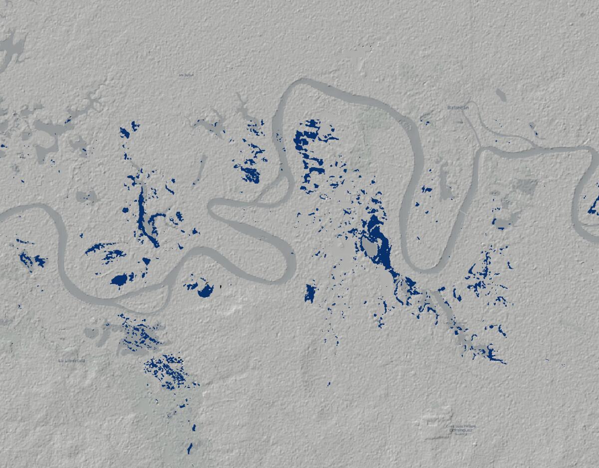
Mapping Flood Extent in Mexico With Sentinel-1
A simple Sentinel-1 and Google Earth Engine workflow for estimating flood extent in parts of Mexico during the October 2025 flooding.
Articles
Writing on spatial software, GIS, open-source technology, and the practical decisions behind systems people can rely on.
A simple Sentinel-1 and Google Earth Engine workflow for estimating flood extent in parts of Mexico during the October 2025 flooding.
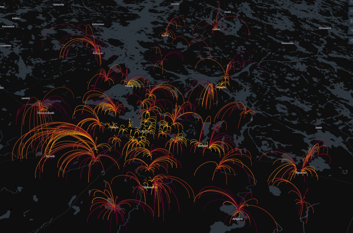
A simple school network simulation showing what happens when two schools are removed from the map, and why small savings can produce a very uneven impact.
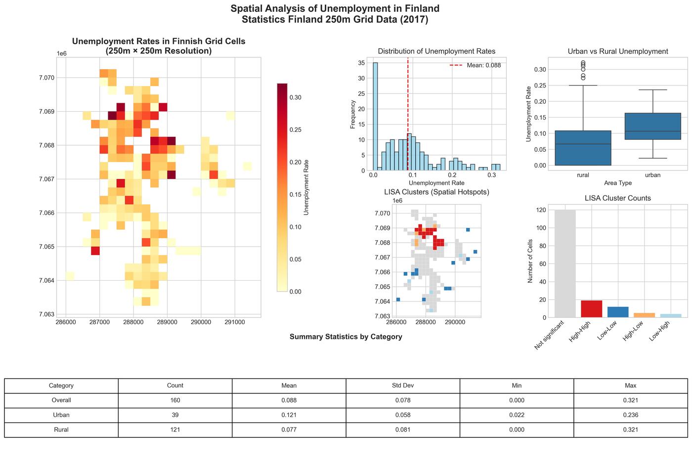
A look at unemployment patterns in Jakobstad using Finland's 250-meter grid data, with a focus on what becomes visible when you stop looking only at municipal averages.
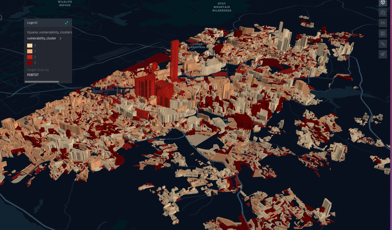
A spatial look at child vulnerability in Tijuana using census data, clustering, and a few simple indicators.
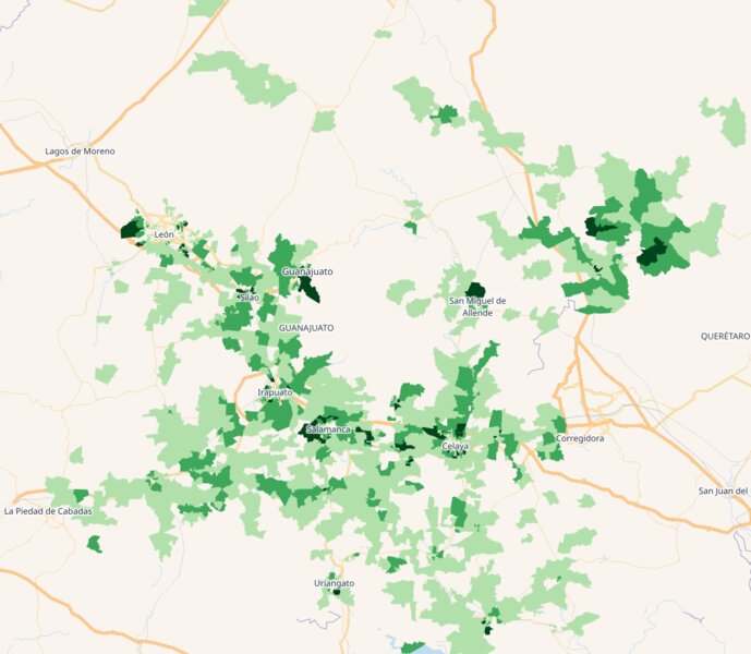
A practical look at how census and electoral data can be combined to identify high-priority neighborhoods for campaign work.
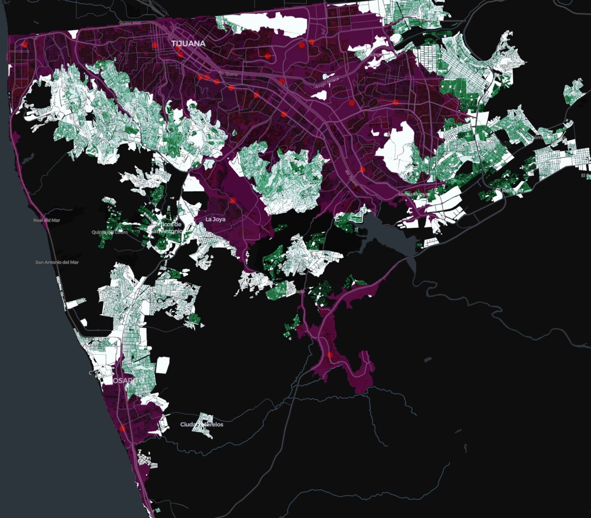
A Tijuana case showing how census data and drive-time analysis can be used to look at branch coverage, overlap, and expansion gaps.
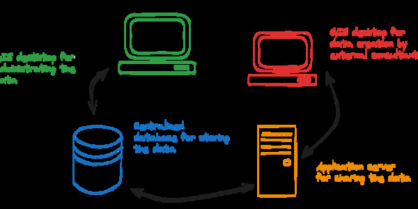
Archive note for my Gispo article on a Tampere workflow built with PostgreSQL, GeoServer, and QGIS.
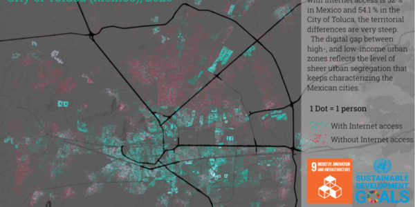
Archive note for my Gispo article on the UN's support for open source and why it matters.
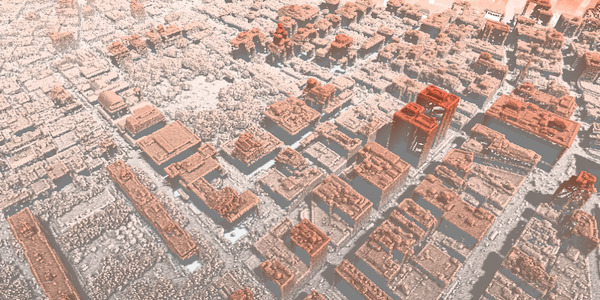
Archive note for my Gispo article on why SQL has become a core skill in geospatial work.
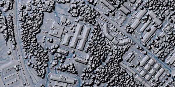
Archive note for my Gispo article on using WhiteboxTools with QGIS for point cloud and terrain work.
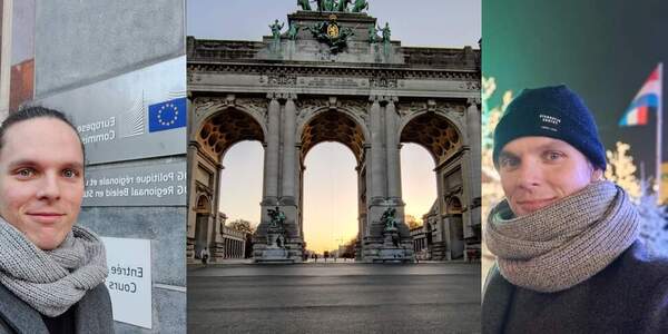
Archive note for my Gispo article on QGIS training delivered for European institutions.
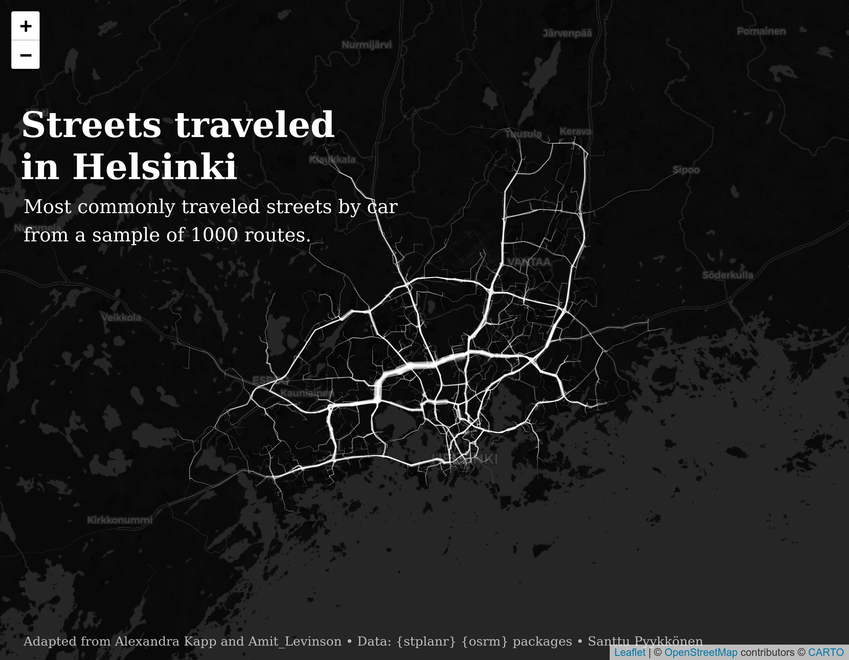
Clean growth, climate action, and basic urban functionality all push cities to think about mobility in a more data-driven way.
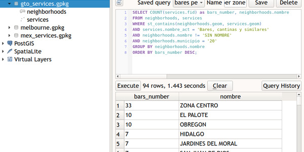
Archive note for my Gispo article on learning spatial SQL through GeoPackage and QGIS.
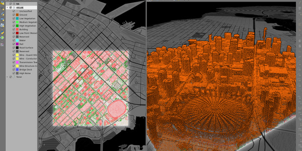
Archive note for my Gispo article on what QGIS 3.18 changed for point cloud work.
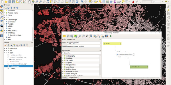
Archive note for my Gispo article on automating repetitive QGIS work with the Graphical Modeler.
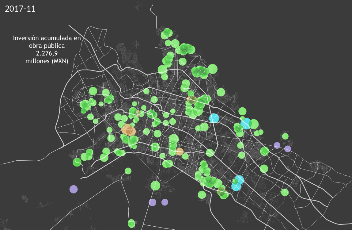
When it comes to budgets, there’s always interest for analyzing and visualizing the data.
Matching the populational demand and service offering in the health sector is an analytical challenge that every society and health provider face.
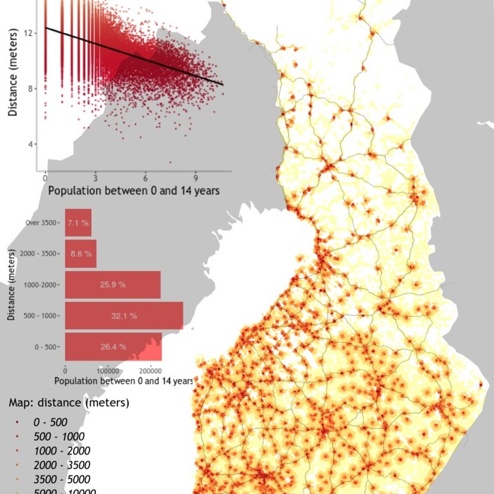
School accessibility is a theme of great importance and requires advanced geospatial analysis for solving it as a complex societal challenge.