About Santtu Pyykkönen
I work where location-based workflows, spatial software, and day-to-day operations meet.
About me
I work where location-based workflows, software, and day-to-day operations meet.
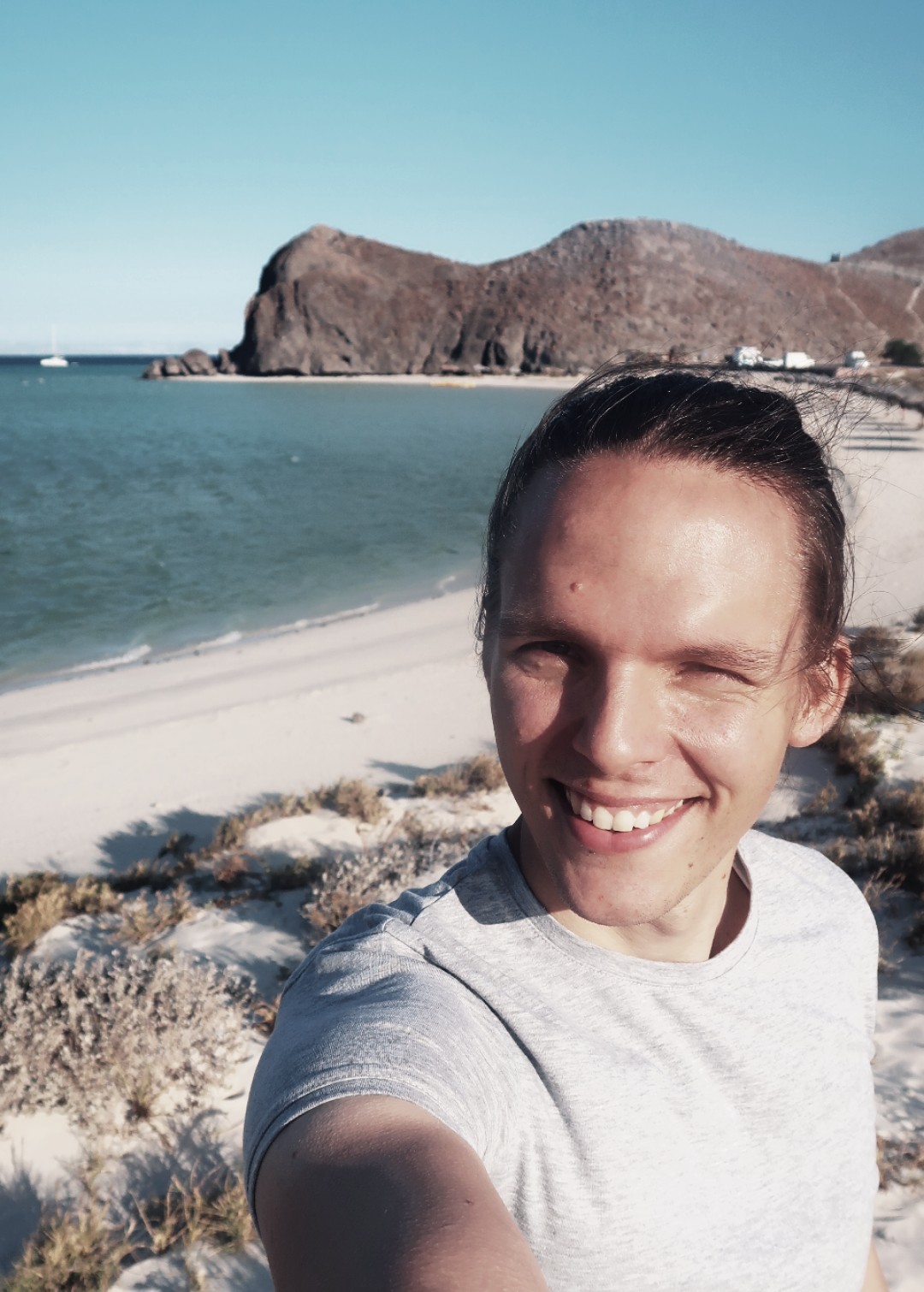
Most of my career has been in open-source GIS. I have worked with municipalities, public-sector organisations, and companies that need better ways to manage spatial data, analyse it, or use it in daily operations.
I have approached that work from several angles: as a GIS consultant, project manager, trainer, sales lead, and board member. That has kept me close both to the technical details and to the decisions about whether a system is useful, maintainable, and worth building.
What I do
My work usually involves:
- understanding a location-based workflow before choosing the technology
- spatial analysis for planning and decision-making
- PostGIS, QGIS, GeoServer, and related open-source tools
- data workflows and system integrations
- translating between technical teams, domain experts, and decision-makers
I am especially interested in work where the analysis or software has a real consequence. That could mean a municipality organising services, a team improving a data workflow, or people finding the real bottleneck before adding more software.
Background
I have spent more than ten years at Gispo in different roles, from consultant work to sales leadership. At the same time, I have tried to stay close to the technical side instead of moving away from it completely. I still like working with data, maps, and the actual structure of a problem.
Before that, I worked in Mexico in research and public-sector contexts. That period shaped a lot of how I think. It taught me to look at geography not just as a technical layer, but as something tied to inequality, access, mobility, and public decisions. It also gave me long-term working Spanish, which still turns out to be useful.
How I work
The workflow comes first. GIS is useful when it helps someone make a better decision, improve a process, or understand a situation more clearly.
That usually means starting with plain questions:
- What is the real decision behind this?
- What data is actually good enough to use?
- What level of accuracy matters here?
- What should stay simple, and what is worth modeling properly?
I tend to prefer pragmatic solutions over impressive ones. A modest analysis that changes a real decision is usually more valuable than a complicated setup that no one will maintain.
Speaking and writing
I write here about spatial software, GIS, spatial analysis, open-source tools, and the practical questions where location matters. Some posts are technical, some examine a specific case, and some are working notes.
I have also spoken at events like FOSS4G about open source geospatial work and enterprise GIS topics.
You can browse my speaking engagements and portfolio if you want a better sense of the work.
Contact
If you are working on a location-based workflow, spatial software, or a GIS question, feel free to get in touch.