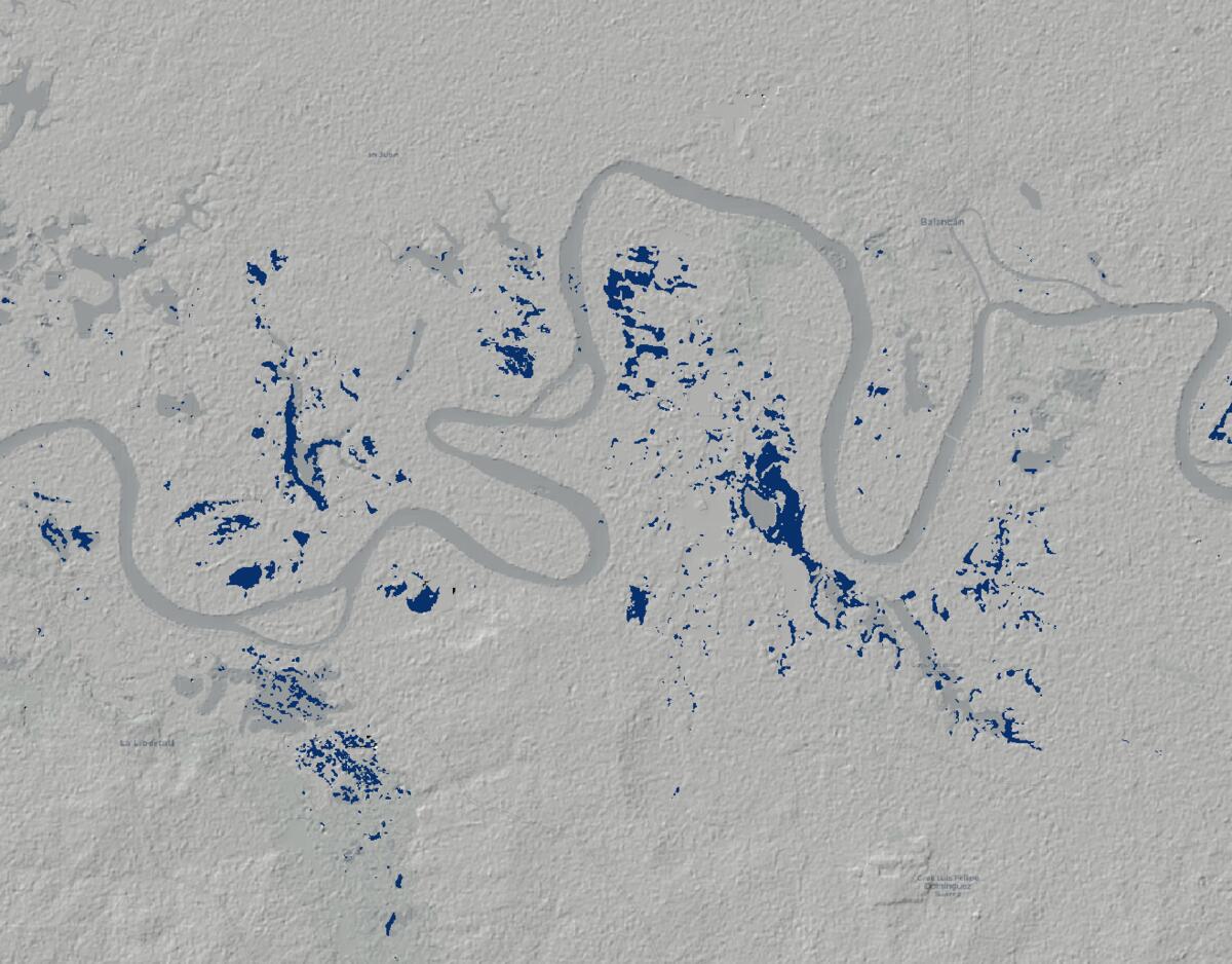
Mapping Flood Extent in Mexico With Sentinel-1
A simple Sentinel-1 and Google Earth Engine workflow for estimating flood extent in parts of Mexico during the October 2025 flooding.
Location-based workflows, software, and operations
I work where location-based workflows, software, and day-to-day operations meet. This site brings together my articles, talks, and working notes on GIS, spatial analysis, open-source technology, and building systems people can rely on.
Articles
A selection of articles on the problems, tools, and practical decisions involved in spatial work.
A simple Sentinel-1 and Google Earth Engine workflow for estimating flood extent in parts of Mexico during the October 2025 flooding.
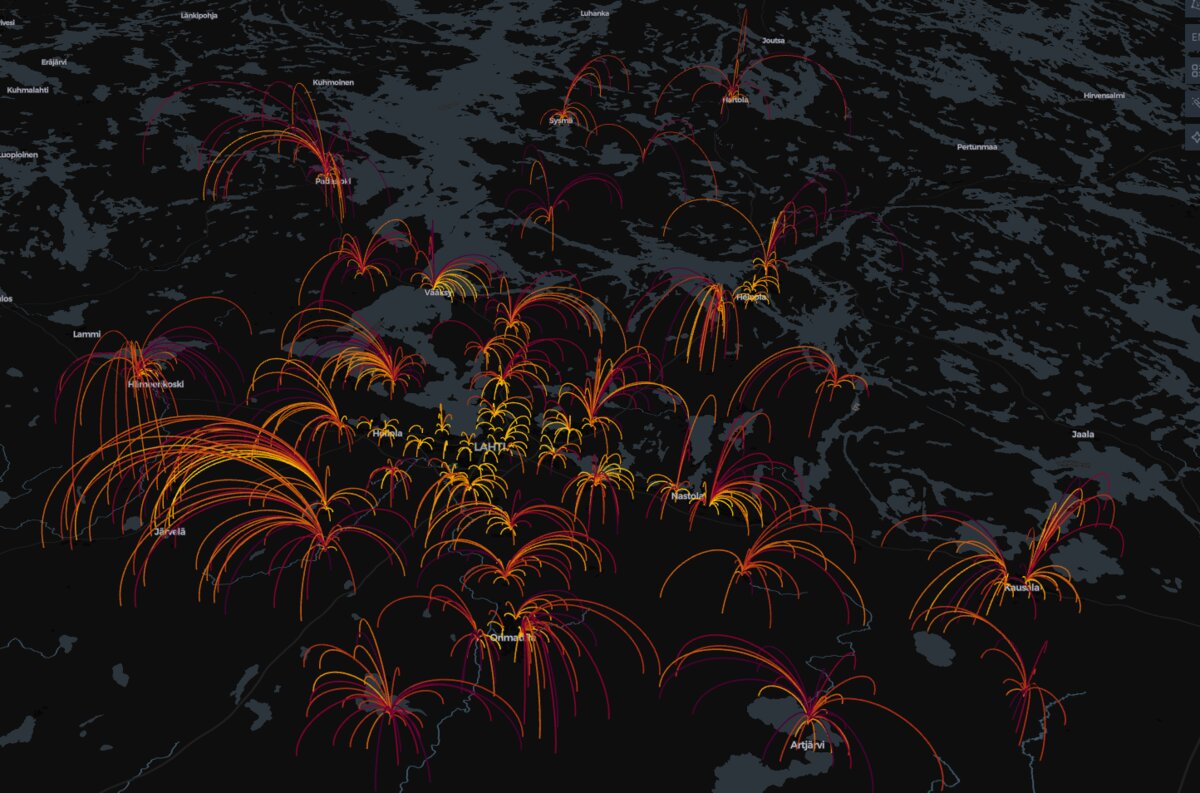
A simple school network simulation showing what happens when two schools are removed from the map, and why small savings can produce a very uneven …
Speaking
Recent talks drawn from practical work with GIS, spatial databases, and open-source geospatial systems.
Talk at FOSS4G North America 2023 on cloud-native geospatial tooling and operational workflows.
Talk and workshop at FOSS4G 2023 on PostGIS and QGIS in larger operational environments.
About
I am interested in how spatial software supports the work people actually need to do. GIS, spatial analysis, and open-source tools matter when they make that work clearer and more dependable. The about page has more background.